Get to know the dataset.
Prepare the dataset for processing.
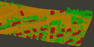
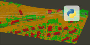
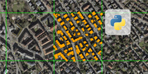
Classify the point cloud into ground, vegetation and buildings.
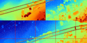
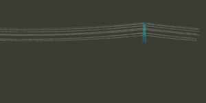
Extract and label powerlines and associated pylons.
Run the entire classification via a single Python script.
Download and inspect the dataset.
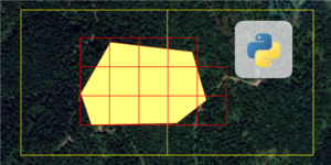
Prepare a subset of the dataset for processing.
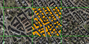
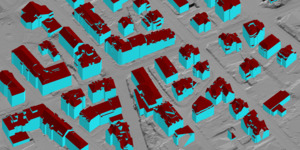
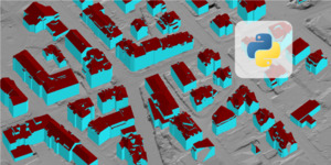
Derive LOD-2 building models and export to CityJSON and CityGML.
How to automate data preparation.
How to automate extraction of LOD-2 building models.
How to download and prepare test data.
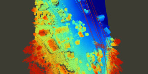
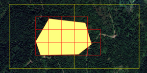
Visualize the dataset and derive terrain models.
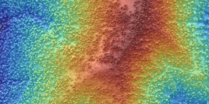
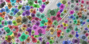
How to retrieve forestry parameters from airborne LiDAR data.
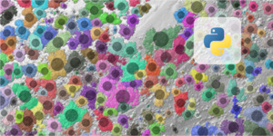
How to automate the forestry analysis.
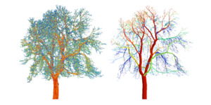
Derive detailed forestry metrics from terrestrial LiDAR point clouds.
How to download and inspect test data.
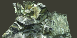
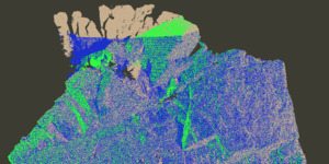
Prepare the dataset for geological analysis.
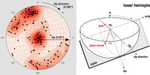
How to retrieve structural geology parameters from TLS scans.
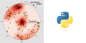
How to automate data preparation and processing.
A high-level introduction to a typical automation workflow.
How to install LIS Pro 3D with Python support.
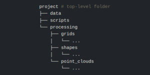
How to organize scripts and data for an automated project.
A concrete example of workflow automation.
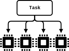
Short intro to parallelization and how to implement it for automated processing with LIS Pro 3D.
How to cleanly log the processing status during automation.
How to change the tile size of your final dataset for delivery or usage.