Design your individual workflows
Build your own tool chains or implement complex analysis routines with Python.
Unleash the power of point clouds
Seamlessly integrate GUI and Python scripts on your desktop computer or in a Docker environment in the cloud.

Process your data conveniently
LIS Pro 3D is a state-of-the-art geospatial point cloud processing solution embedded in a GIS environment. Organize, view and process point cloud data in the graphical user interface.
Use Python to become more effective
LIS Pro 3D is scriptable with Python. Extremely modular, cross-platform and with support for parallel processing, it offers all the features required to carry out demanding projects. Whether you are working on single data sets or even performing large-scale analyses, LIS Pro 3D will significantly increase your flexibility and efficiency.

Process large data sets with seamless access
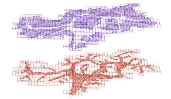
Learn more about LIS Pro 3D's data catalogs. The concept of virtual point clouds enables seamless access to large data sets. Do area-of-interest queries with optional overlap, including on-the-fly thinning or rasterization of point clouds, or re-tile or mosaic your data. This makes big data processing tasks feel like processing small pilot projects.

Process your data directly in Riegl software
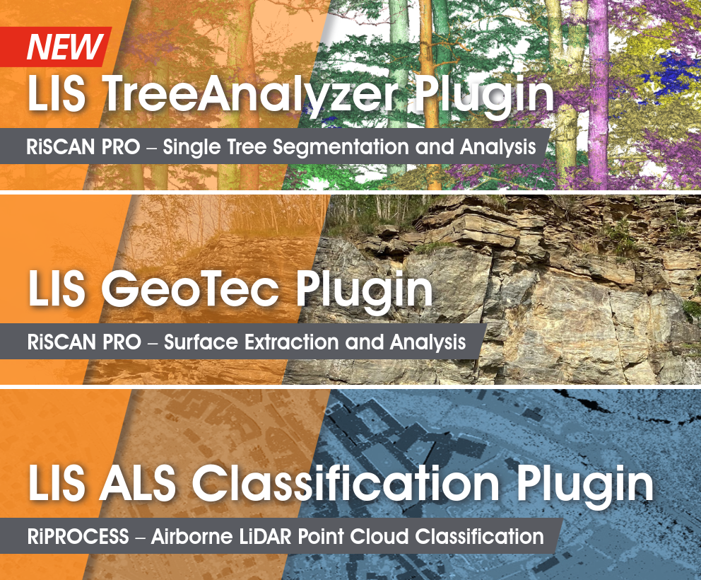
LASERDATA is developing software plug-in solutions for the global laser scanner manufacturer RIEGL LMS GmbH based in Horn, Austria. These include the classification of airborne laser scanning data, geological structural analyses or individual tree analyses from terrestrial laser scanning data.