From Raw Points to Classified Data
Starting Point: Classify First, Analyze Faster
Point cloud classification is the foundation of meaningful analysis. Before you can model terrain, simulate floods, or analyze infrastructure, your data needs structure.
Want to run terrain or flood simulations? Start by extracting ground points and generating a surface model. Planning to reconstruct buildings? Begin by isolating building points. Analyzing power lines? Accurate powerline classification is essential.
In short: every analysis starts with a goal-oriented classification of the raw point cloud.
In this post, we’ll walk you through the basic point cloud classification workflow in LIS Pro 3D - so you can move from raw data to reliable results faster.
Raw Comes First
Once a point cloud has been captured and georeferenced, you’re faced with a massive amount of unstructured data - a dense collection of 3D points with no inherent meaning: the raw point cloud.
On its own, this data doesn’t tell a story. But by analyzing the geometric distribution of these points, patterns begin to emerge. Step by step, structure replaces chaos, allowing you to identify objects, understand their properties, and unlock valuable insights.
This is where classification begins.
Ground Sets the Stage
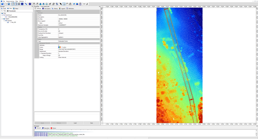
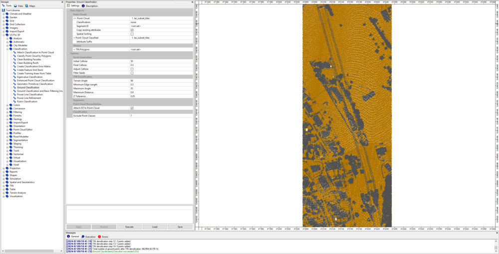
In LIS Pro 3D, everything starts with the ground. Accurate ground classification not only separates ground from non-ground points but also assigns each point a height above the ground.
The height above the ground already carries valuable insights: tree height, building height, or the height of a pylon for powerline analysis. Plus, LIS Pro 3D lets you fine-tune ground classification parameters to handle flat, rolling, or steep terrain, ensuring your analyses are built on a solid foundation.
Solids Come Next
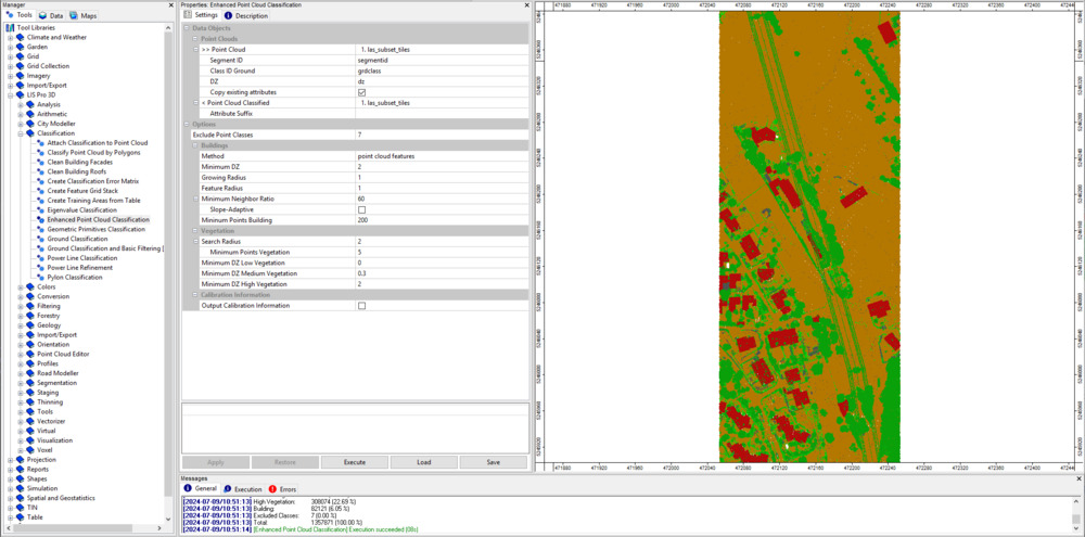
Once the ground is classified, we can focus on the remaining points. How far are they from the ground? Do they form smooth, continuous surfaces? By analyzing these patterns, we can separate them into distinct planar surfaces and identify man-made solid objects, such as buildings and bridges.
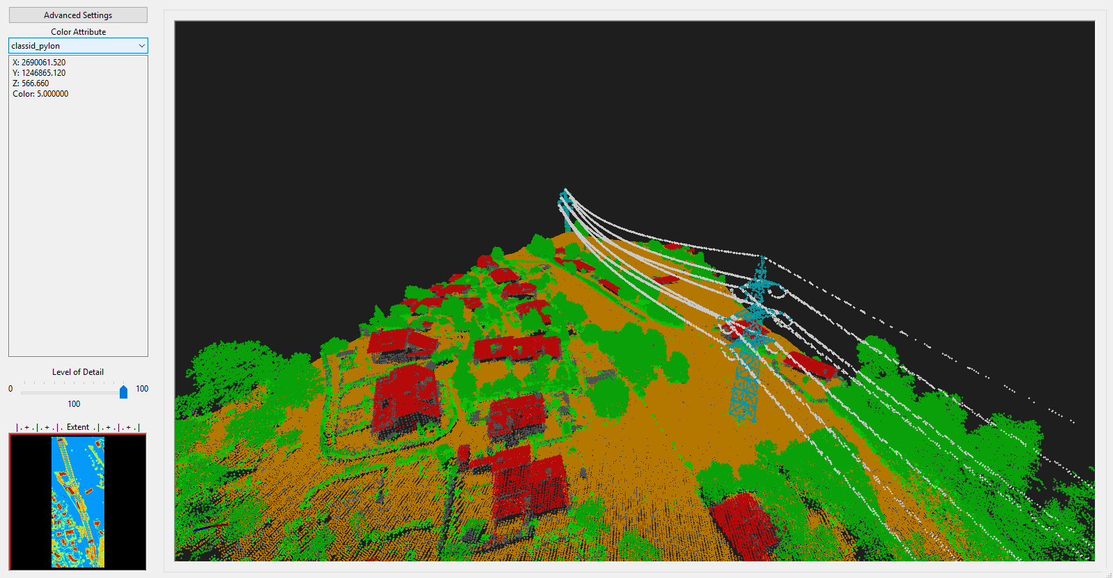
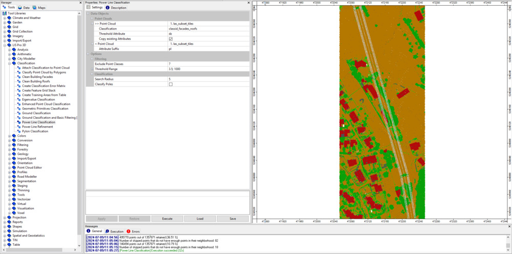
Powerlines Come Last
Finally, we analyze the remaining points to extract powerlines and pylons. Once classified, their relationships with surrounding objects - for example, distances to vegetation - can guide safe and efficient tree management.
Start Learning Today
Check out our classification tutorial and discover how simple it is to turn raw point cloud data into reliable results.
- Request your free LIS Pro 3D trial here
- Get started with our Point Cloud Classification tutorial