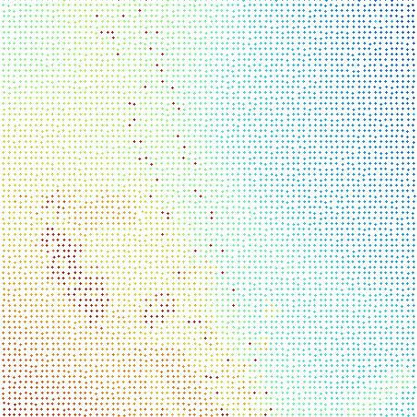

LIS Thinning
LIS Thinning provides methods for reducing point cloud density while retaining the information most relevant to subsequent processing. The package includes regular 2D and 3D block thinning, TIN-based approaches and adaptive methods that account for local surface characteristics. Typical applications include reducing extremely dense terrestrial or UAV point clouds before further processing, homogenising variable point densities, retaining terrain key points and breaklines while removing redundant points, and generating lightweight point clouds or surface models for efficient storage, visualisation and analysis.
Tool: Block Thinning 2D
| Features |
|---|
| • thinning of a point cloud by 2D block filtering (from all points contained within a 2D grid cell only one is kept) |
| • filter methods: lowest, highest, nearest (cell center), mean, median, min(attribute), max(attribute) |
| Applications |
|---|
| • point cloud thinning / data reduction |
| • point cloud thinning based on attribute value, e.g., point with highest intensity value is kept |
| • homogenization of point density |
Tool: Block Thinning 3D
| Features |
|---|
| • thinning of a point cloud by 3D block filtering (from all points contained within a 3D voxel only one is kept) |
| • filter methods: lowest, highest, nearest (voxel center), mean, median, z-slice mean, min(attribute), max(attribute), center |
| Applications |
|---|
| • point cloud thinning / data reduction |
| • point cloud thinning based on attribute value, e.g., point with highest intensity value is kept |
| • homogenization of point density |
Tool: Delaunay Thinning 2D
| Features |
|---|
| • thinning is controlled by a deviation tolerance describing the elevation difference allowed between the 2D triangulation of the thinned point cloud and that of the original point cloud |
| • points with a high curvature, e.g., along breaklines, can be kept, optional |
| • output of the final (thinned) TIN as 3D shapes layer, optional |
| Applications |
|---|
| • point cloud thinning / data reduction |
| • TIN generation (3D shapes layer) |
| • detection of (terrain) keypoints |
Tool: Segment Centroids
| Features |
|---|
| • condense segments to their centroids |
| • optional: output of mean attribute value per segment |
| Applications |
|---|
| • point cloud segmentation |
| • object based analysis/classification |
Tool: Segment Thinning
| Features |
|---|
| • thinning of points on point cloud segments by 3D block filtering |
| • filter methods: lowest, highest, nearest, mean, median, z-slice mean, min(attribute), max(attribute), center |
| Applications |
|---|
| • point cloud thinning |
Tool: Thinning by Surface Roughness
| Features |
|---|
| • thinning of a point cloud (e.g., a bare earth model) in consideration of surface roughness |
| • areas with a low surface roughness will be thinned out more rigorous than areas with a high roughness |
| • additional output: final (thinned) TIN as 3D shapes layer |
| • TIN can be constrained to data, optional |
| • detection of (terrain) breaks by normal vector difference, optional |
| Applications |
|---|
| • point cloud thinning / data reduction |
| • TIN generation (3D polygon shapes layer) |
| • detection of (terrain) keypoints |