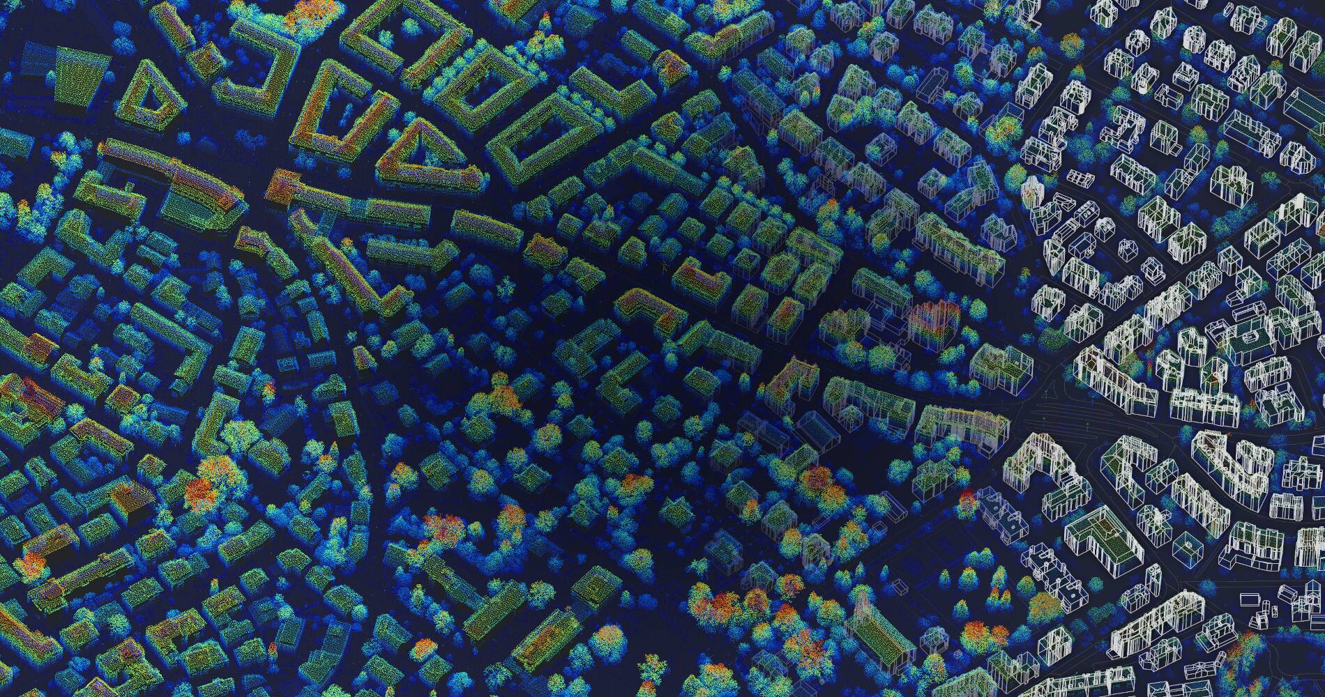
Professional Point Cloud Processing
Built for Geospatial Analysis
From LiDAR and photogrammetry to analysis, modeling, and automation.
A Streamlined Workflow
Four steps from raw data to actionable 3D insights
Powerful Point Cloud Capabilities
Transform raw 3D data into actionable insights with our comprehensive processing suite
Point cloud analysis in a common GIS environment
Process your point cloud data within LIS Pro 3D & SAGA GIS, a native Geographical Information System. Seamlessly integrate, analyze and combine your point cloud data with other raster- and vector datasets.
Process point clouds from various platforms and sensors
LIS Pro 3D is designed to handle all types of point clouds - whether generated by LiDAR or photogrammetry and captured with handheld or terrestrial devices, as well as sensors mounted on mobile, drone, or airborne platforms.
Beginner-friendly. Expert-ready.
LIS Pro 3D combines ease of use with powerful capabilities - featuring an intuitive GUI for beginners and advanced automation and Python scripting for experienced point cloud professionals.
Large scale processing & automation
Seamless processing of large data sets via LIS Pro 3D's data catalogs. Easily automate and scale up your processing chain through LIS Pro 3D's integration with the Python programming language.
Data cleaning & conversion
Filter, thin or voxelize your point cloud data. Easily generate common raster products such as DTM, DSM, and nDSM.
Custom tool development
Missing a feature or tool in LIS Pro 3D? Want to include one of LIS Pro 3D's tools in your own software? Contact us for custom tool development for LIS Pro 3D and licensing options for third party software.
Enterprise-Grade Processing
- Process billions of points with optimized algorithms
- Build automated workflows and scalable processing pipelines
- Multi-threaded architecture for maximum performance
- Flexible point cloud toolkit adaptable to custom workflows
- Native integration with the SAGA GIS ecosystem
Transform Your 3D Data with LIS Pro 3D
Discover the power of streamlined, professional point cloud processing inside your GIS.